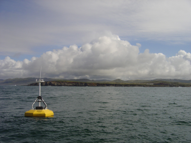
Bodega Head Offshore Buoy
Bodega Marine Laboratory has operated an oceanographic buoy immediately offshore from the lab in 30 m water since December 2009. Data collected from the surface include temperature, salinity, chlorophyll fluorescence, dissolved oxygen, and current speed and direction.
-Temporarily Offline-

Horseshoe Cove Wave Buoy
Real-time wave and sea surface temperature data from Horseshoe Cove at Bodega Marine Laboratory and Reserve.
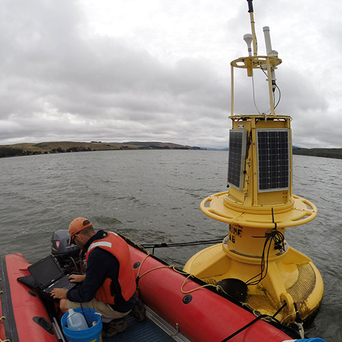
Tomales Bay Oceanographic Buoy
This oceanographic buoy is deployed in Tomales Bay, south of Hog Island. It is a cooperative project between the UC Davis Bodega Marine Laboratory, Point Reyes National Seashore (PRNS/NPS), and the National Marine Sanctuaries (NMS/NOAA). Data may include: wind, ocean current speed and direction, salinity, temperature, chlorophyll fluorescence, turbidity, pH, and CO2.
-Currently Offline-
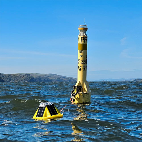
Tomales Bay Wave Buoys
Real-time wave and sea surface temperature data from Inverness and Pigeon Point in Tomales Bay.

More Real-Time Oceanographic Data
Additional sensors that provide continuous measurements of waves, water levels, and water temperature in coastal and estuarine environments throughout California.