

Learn About Sea Surface Currents and How They Are Measured
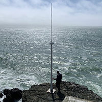
A transmitter broadcasts a frequency modulated radio frequency pulse at 2Hz (two pulses per second). The Doppler shifted return signal (sea echo) is detected with a compound cross loop/monopole receive antenna and the signal is processed into estimates of surface current speed and direction and wave heights, period and direction.
Read more
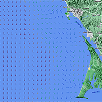
Sea Surface Current Observations
High Frequency Radar stations located on the shore produce hourly maps of the currents around Bodega Head
See current plots

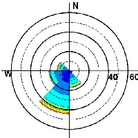
Wave Measurements
Wave height and direction estimates derived from High Frequency Radar measurements
-Currently Offline-
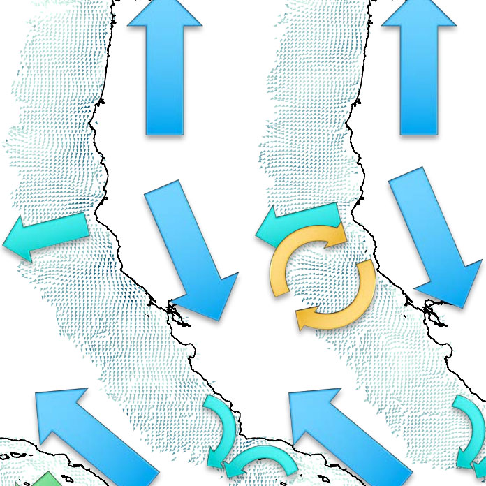
A Decade of Data - Using Radar to Understand Our Ocean
An exploration of a decade of sea surface current data
Learn more
High Frequency Radar User Tools
Matlab routines to perform QA/QC on high frequency radar (HFR) data and calculate temporal and spatial statistics.
Learn more